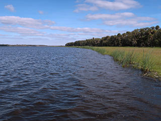
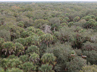
A Florida gulf-coast area visit gave me an opportunity to go poke around the
Myakka River State Park.
I had been there a few years before and did the "touristy" stuff, like the
boat tours on the lake to gawk at alligators, but this time I just wanted
to go hike around its trails some.
The park is *huge* and its trails go for long stretches between intersections,
and it's not easy to plan a loop that isn't going to take all day.
I made a guess at a route that would take me through some "wooded" areas
and open fields.
[In Florida-speak, those are respectively called "hammock" and
"prairie".]
In aerial views it's pretty easy to see where these regions are.
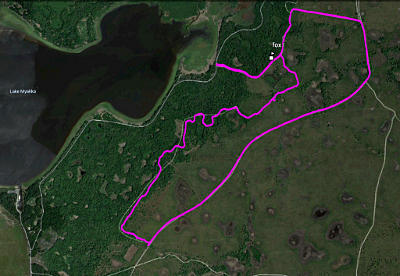
Here's the GPS track from the day, about 6.5 miles. This view is about two and a half miles wide, showing that the density of trails here is fairly sparse, and this is only a small fraction of the park! I was aiming for something called "hiking trail", one of the more wiggly lines on the map, which is a metric I often use as indicating the interesting trails. I wanted to make a loop, so the return from that would be up one of the larger access roads. |
I parked up at the "Lower Fox" trailhead and started in, through mostly
wooded terrain which opened up a little later.
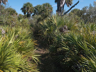
"Wooded" here is mostly a mix of live-oak and saw palmetto, with some
other stuff mixed in.
The ground is usually covered with a litter of dry palmetto leaves, and
is sort of "crunchy" in places.
But it's usually humid enough that a lot of what's on the ground gets damp
and softens up; depends on if it's in close contact with the sandy soil
or not, and how recently it rained.
Still, it's almost impossible to go through any stretch of palmetto thicket without making a *lot* of noise. |
![]() |
![]() |
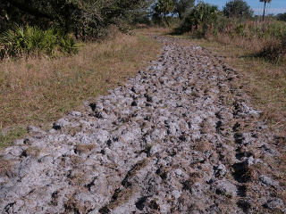
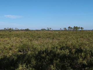
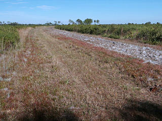
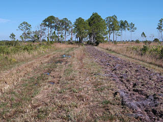
The narrow trail finally emerged into a huge open area. To attempt to photograph the breadth, I went up a convenient tree a little ways for the left-hand shot. Now I was at the "all-weather road", which stretched away to the north with no end in sight -- this was the other half of my loop. This is the prairie land, which constitutes most of the area in the park. This had the same sort of firebreak, not the full width of the slightly raised roadbed. This was going to be something of a slog, trading off between the tumbled rototill and the spiky rough-cut grass for another two miles or so. |