
Water rose very quickly overnight, and it's still been raining fairly hard all day. The crest is yet to arrive, and things are already pretty serious. At this point it's not quite to the level of the '06 Mothers' Day flood, but may get close.
[Click small pictures to see full-size versions.]
|
|
|
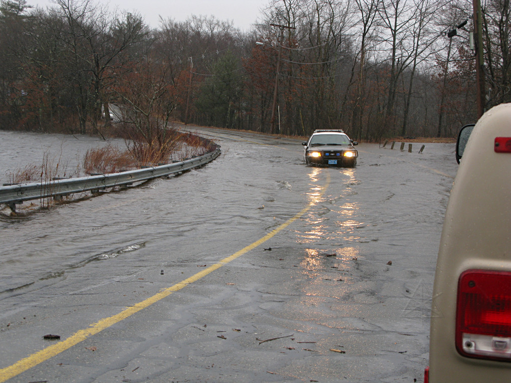
| Compare the levels near the pumphouse, at noon [left] and around 5pm [right]. Still rising. The nor'easter wind was whipping whitecaps into the bank and over the road, in the completely opposite direction to how the winds usually blow across here. | |
|
|
|
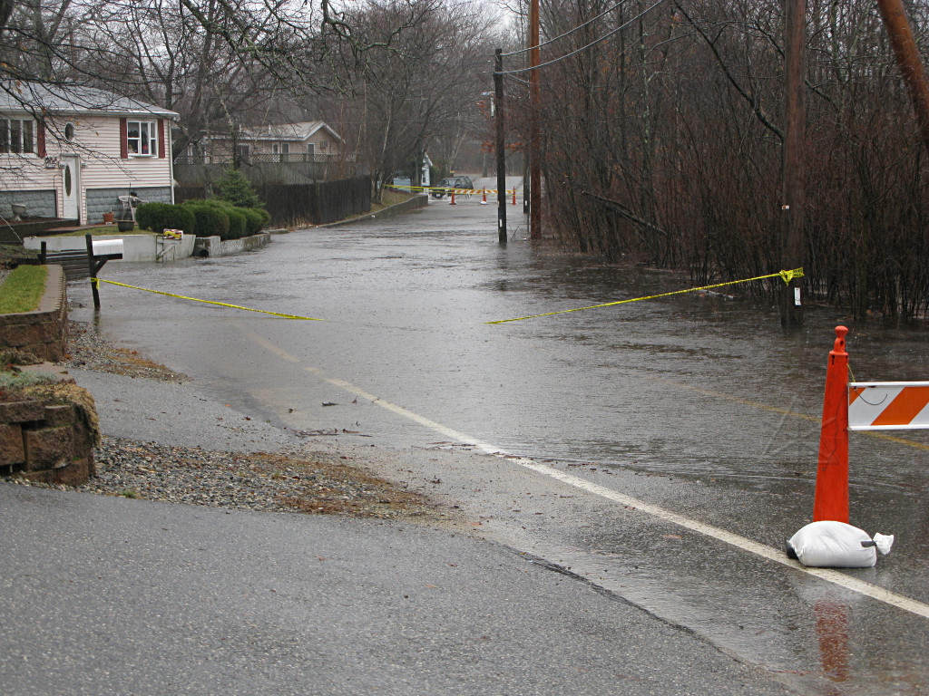
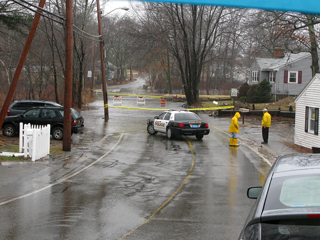
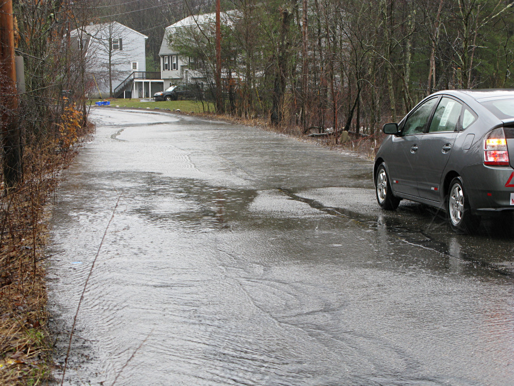
The low parts of Burroughs, inundated as expected. Left: Intersection by Fieldcrest Right: near Paul's house before the bridge. At the time I talked briefly to Paul he said the sandbagging was holding. The NRPD had been in and out all day, blocking off unsafe parts of the roads and doing a little traffic management where needed and coordinating repair efforts. Great to have them involved. | |
|
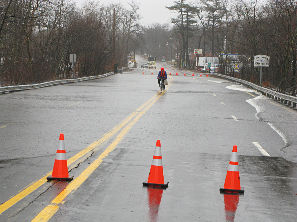
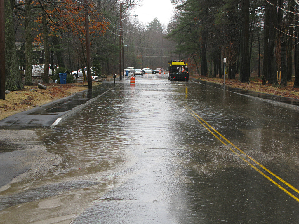
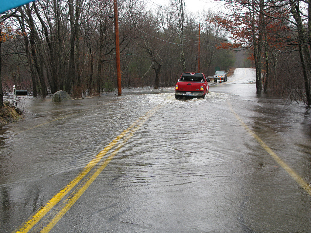
The water's already over the 28 bridge and the road is closed. Doesn't stop an intrepid bicyclist from slogging through it with groceries. Legs still work when they're soaked! |
|
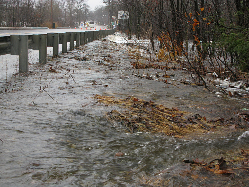
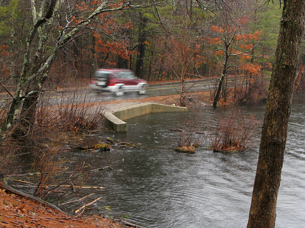
This is a wide swath of water coming in across 28 from the Skug, and it's *all* dumping into the Pond's system here. |

|
It's already high water volume, forming a little waterfall ... hopefully it won't erode the bridge and pavement structure too much. |
|
|
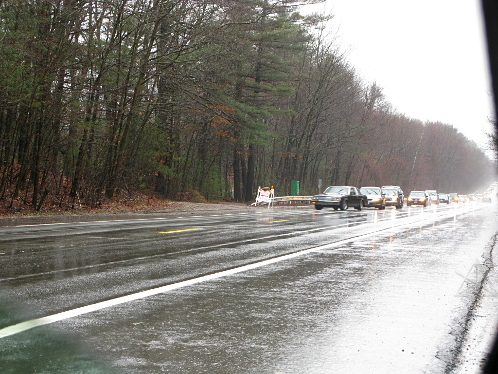
| I had to run some errands in Wilmington. They were having plenty of their own issues too, as the whole rest of eastern MA. I considered the idea of tooling up to have a look at the Merrimack the next day. | |
|
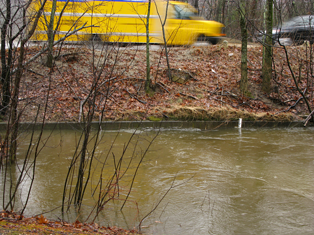
The Rt. 62 bridge, where the Pond ultimately empties to. This is the upstream side; openings completely buried, the level stick almost gone, and you can see a dip and turbulence where the suction is pulling water into the culverts. I can't tell how many inches ASL that last number mark is. |
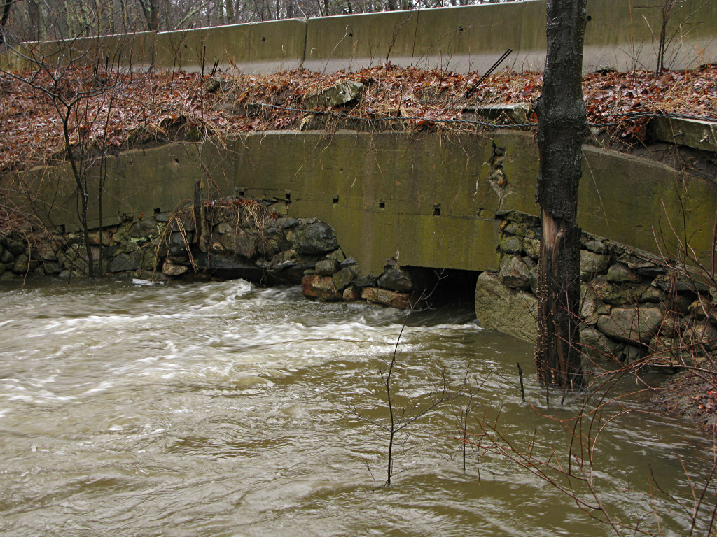
|
Outlet side of the 62 bridge. These two little holes, normally showing 4 or 5 foot tall openings at normal levels, can't pass nearly enough volume to effectively drain all the watershed above it when it's needed most. |
|
On the way back I thought I'd be clever and go around the other way by Gould Road to the east. Oops. The incoming Skug crosses here, too. |
|
Field Pond up in Harold Parker was a bit high too, but I don't think it actively feeds the Skug system. I just took a quick side-trip up to look at it out of curiosity. |

|
|
|
|
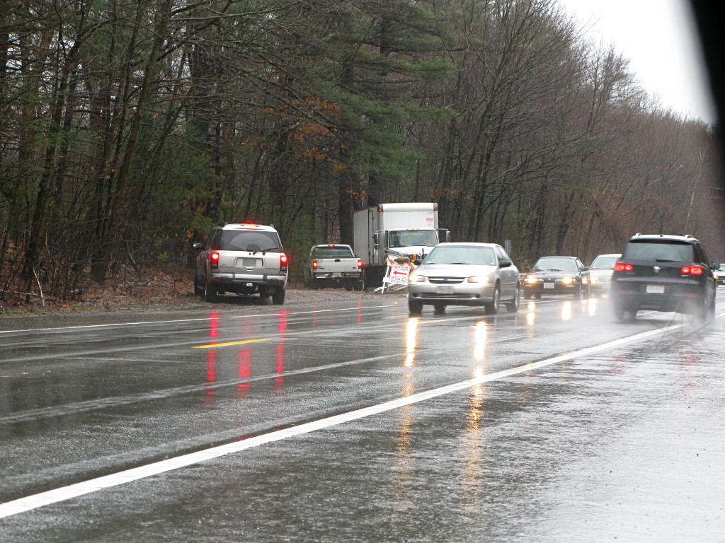
The usual fun already happening around the mouth of the "escape route" as
it hits route 125. Sometimes there long enough lulls in both directions of
traffic to allow a safe turn, but it's rare and of course most people don't
want to wait. Cars slowing to try and make the sharp right [like they
shouldn't] have been causing long backups all day, especially in later
afternoon when everyone's trying to come home.
And when the big box truck has to come down the hill when other are attempting to go up, the truck wins! | ||

|
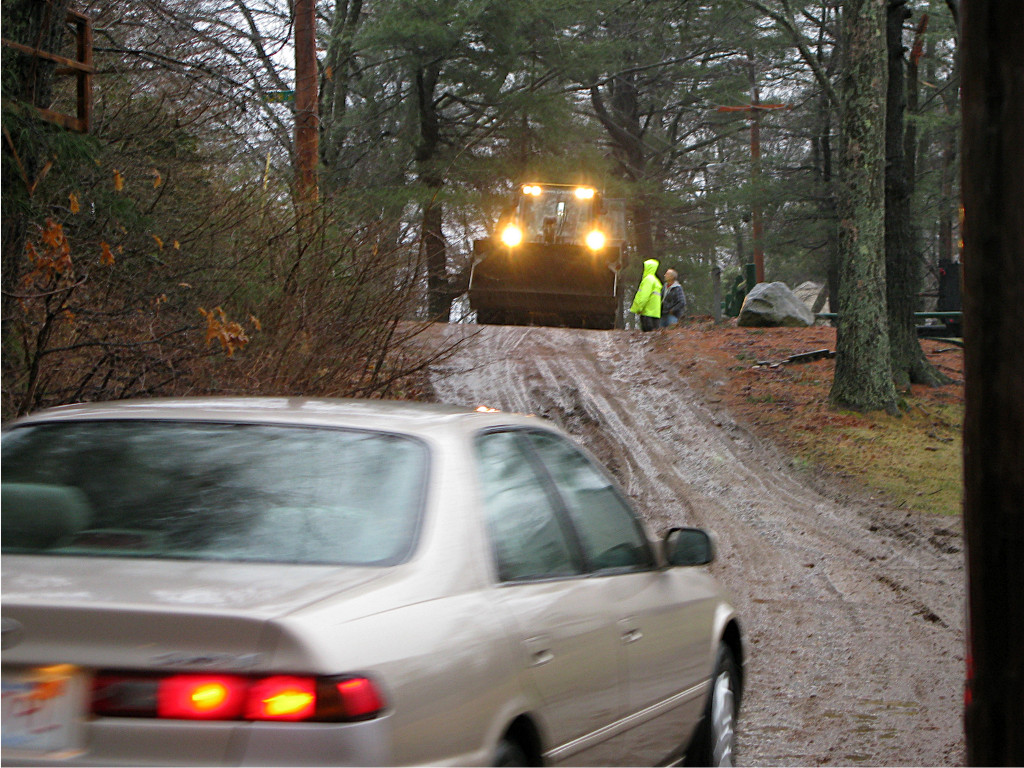
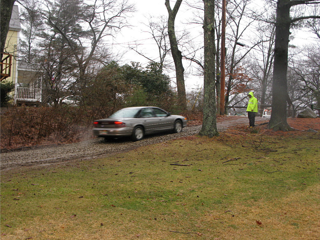
The steeper part of the path turned into a total mudslide about three hours after the access was opened up, and vehicles were already having trouble negotiating it. |
|
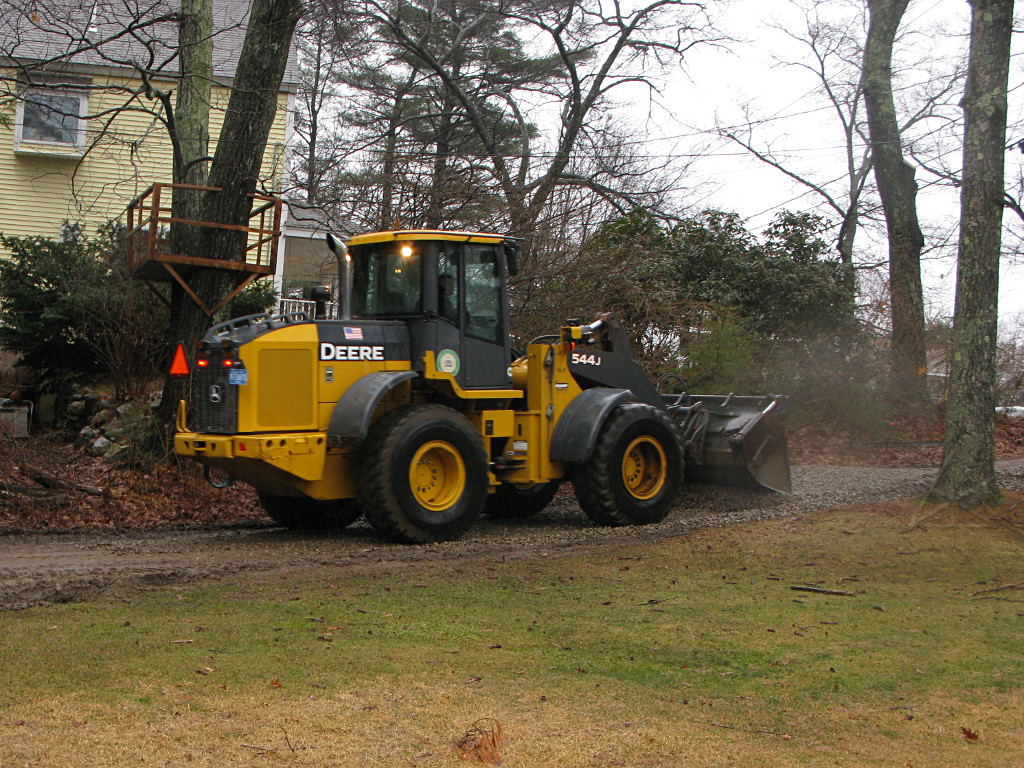
So like in '06, the DPW brought in more gravel and a front-end loader to spread it around. Again, larger vehicle wins; regular car stops and waits for loader to come down and the improvement operation to be completed. |
|
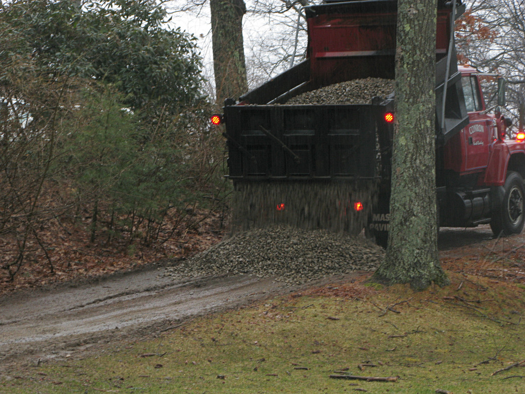
I was fortunate to be still out running around with the camera when the first load of gravel arrived, and could document the process. |
|
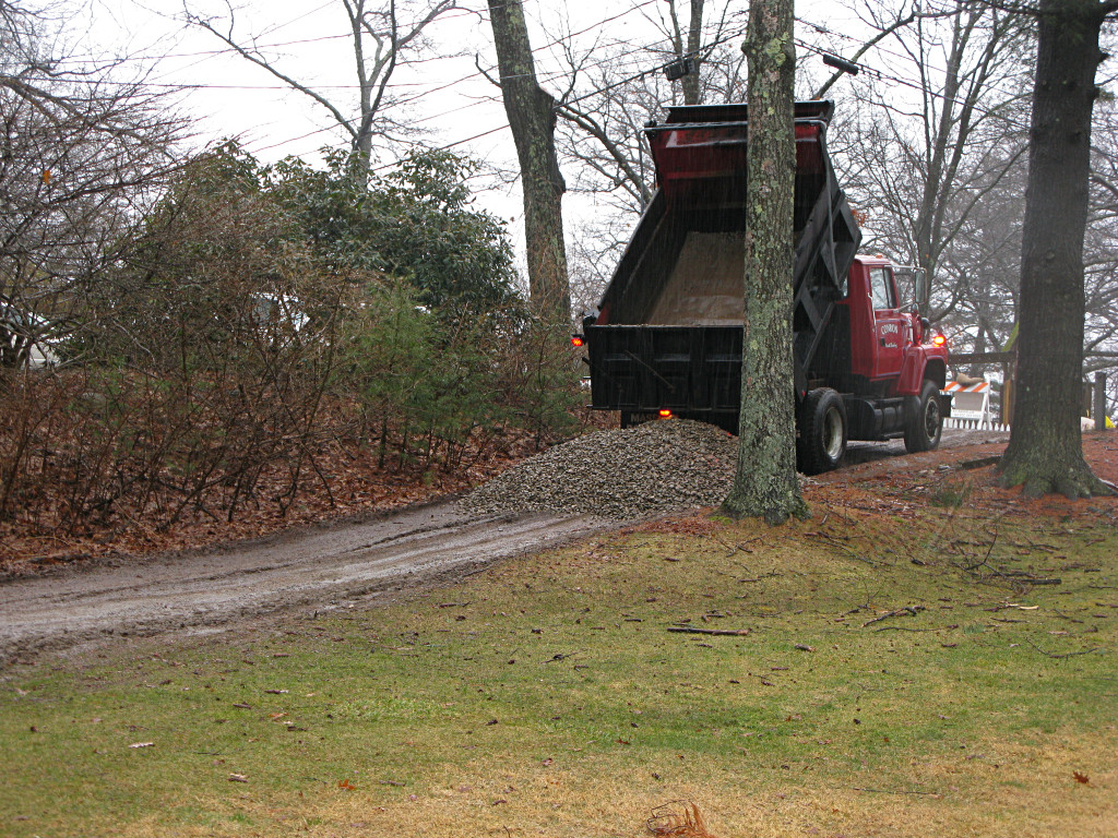
The dump truck didn't make any effort to distribute the load; it just dropped a big mound on the path. |
|

|
| Then it was the loader's job to drag the pile backwards, spreading it down the hill. But one small truckload wasn't going to do the whole stretch. | |
|
A couple more incoming cars could try out part of the new surface while the truck was off getting the next load. At least this would give them a better run at the remaining mucky part. |
|
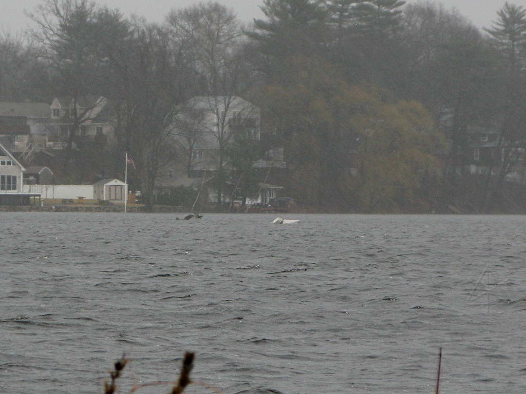
Meanwhile, various items had apparently been breaking loose from the shoreline and floating downstream. Boats, furniture, pieces of docks, whatever. |

|
The little wetland pool behind my place is landlocked, but also rose
much higher than usual; this "leaf causeway" I've been adding to for the
last decade or so is usually at least a foot and a half out of the water.
Tomorrow is going to be, uh, interesting. |
_H* 100315